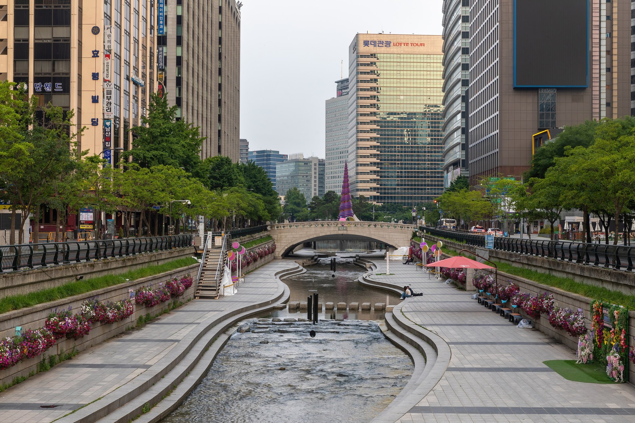

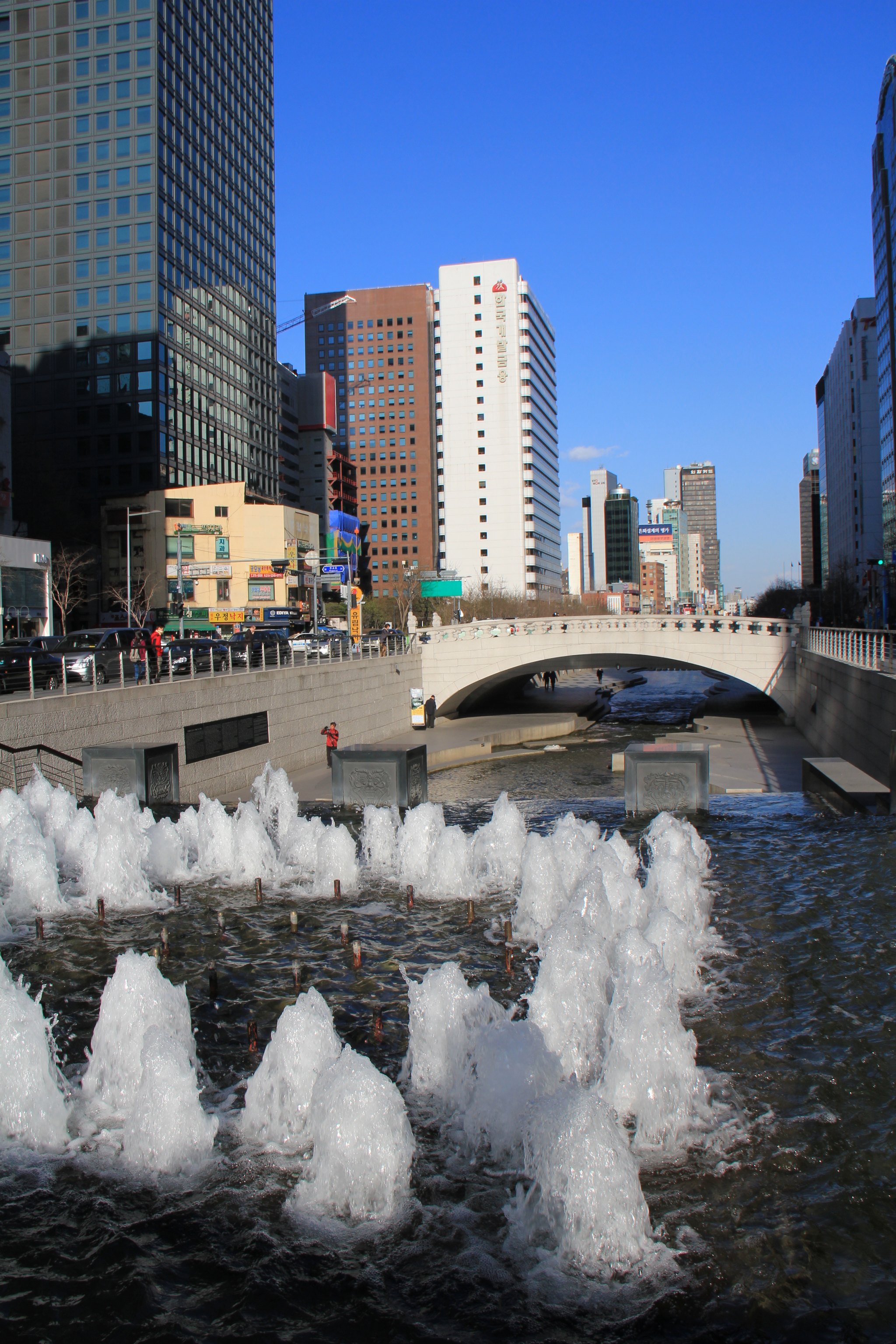
A stream running eleven kilometres west to east through the middle of Seoul, sunk below street level with walkways along both banks. Until 2003 it was not there: it had been culverted in the 1950s and an elevated expressway built over the top. The expressway was demolished, the stream uncovered, and the whole thing reopened in 2005.
It is the clearest thing in the city about what Seoul decided to be. A capital that spent forty years building over its water spent two years taking a motorway down, and the result is the most-used public space in central Seoul.
What it costs
⭐ Free, open, unfenced and never closed. Walk down any of the staircases.
When to go
Whenever. It is lit at night and cooler than street level in summer by several degrees, which is why it fills up after dark in August.
⚠️ It is a real watercourse with a flood system. In heavy rain the walkways are closed and the water rises over them fast — the warnings are taken seriously and so should you.
_in_Seoul_(7085879791).jpg)
Getting there
The head of the stream is at Gwanghwamun station, line 5, by the Cheonggye Plaza fountain. Jonggak on line 1 and Euljiro 1-ga on line 2 both come out beside it further down.

If you only have an hour
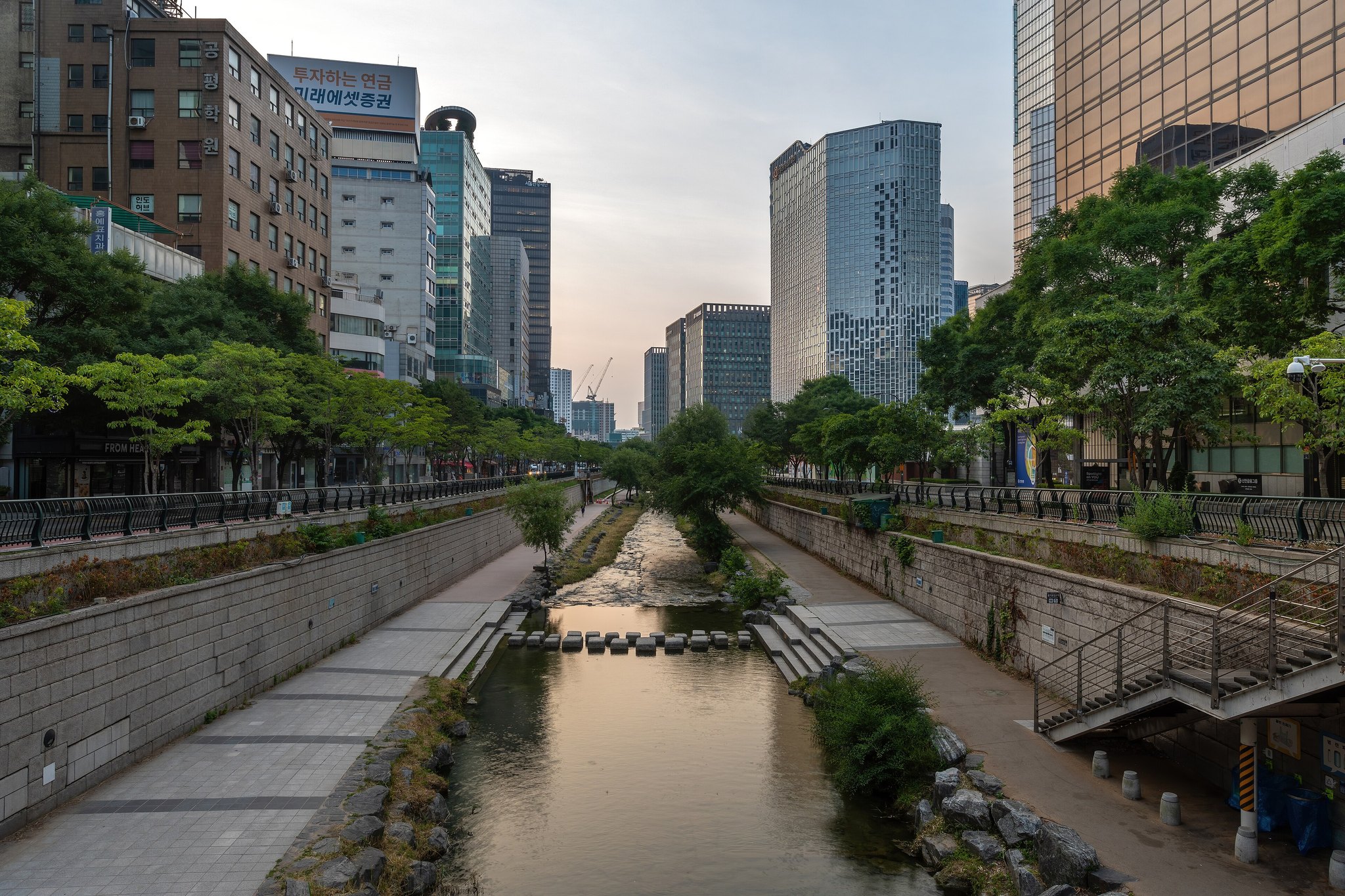
Start at the plaza and walk east. The first kilometre is the designed part — fountains, stepping stones, the tiled Jeongjo procession mural, and a wall of ceramic pieces made by twenty thousand people. Then it gets progressively less landscaped and more like an actual river, with herons in it, until it runs out into the Han.
Come up at Gwangjang Market, which is one street north, and eat.
What people get wrong
Thinking it is a canal. It is a stream that was buried and dug back up, and knowing that is the difference between a nice walk and an interesting one.
_in_Seoul_(7085878151).jpg)
Nearby
Ticketing arrangements, closing days and boat timetables as published and checked on 5 September 2026. These change without much warning — confirm with the place itself before you travel. More sights, and how they fit together, in Landmarks & Sights.